青藏高原地形起伏度及其地理意义
封志明1,2,3( ), 李文君1,2, 李鹏1,2,3(), 肖池伟1,2
), 李文君1,2, 李鹏1,2,3(), 肖池伟1,2
Relief degree of land surface and its geographical meanings in the Qinghai-Tibet Plateau, China
FENG Zhiming1,2,3(), LI Wenjun1,2, LI Peng1,2,3(), XIAO Chiwei1,2
), LI Wenjun1,2, LI Peng1,2,3(), XIAO Chiwei1,2
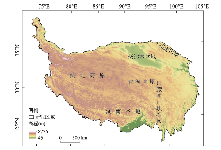
图1. 青藏高原ASTER GDEM分布图
注:先进星载热发射和反射辐射仪所采集的青藏高原最高点海拔为8776 m,与2005年中国国家测绘局所测量的珠穆朗玛峰岩面高8844.43 m不一致,即为系统误差,对后续分析影响可忽略。
Fig. 1. Map showing the topography of the Qinghai-Tibet Plateau with ASTER GDEM