基于多源遥感影像的洞庭湖地形提取方法
隆院男1,2,闫世雄1,蒋昌波1,2( ),吴长山2,3,李志威1,2,唐蓉1
),吴长山2,3,李志威1,2,唐蓉1
A new method for extracting lake bathymetry using multi-temporal and multi-source remote sensing imagery: A case study of Dongting Lake
LONG Yuannan1,2,YAN Shixiong1,JIANG Changbo1,2(),WU Changshan2,3,LI Zhiwei1,2,TANG Rong1
),WU Changshan2,3,LI Zhiwei1,2,TANG Rong1
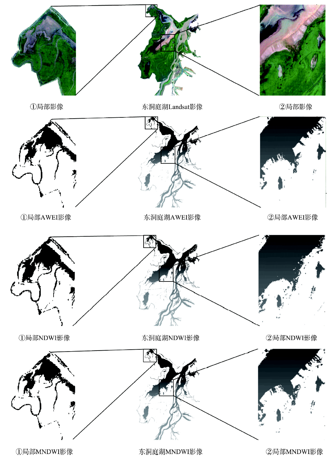
图3. 东洞庭湖3种水体指数提取效果对比图
Fig. 3. Comparison of the extraction results about three kinds of water index in East Dongting Lake